FigSpec Hyperspectral Drone Camera Systems:Aerial Remote Sensing for Precision Data Collection

In modern agriculture and industrial facility operation, accurate data is the basis of decision-making. FigSpec hyperspectral and multispectral UAV systems (FS60-CL, FS6B, FS-50L) and their software ecosystem represent a breakthrough in aerial remote sensing. With these systems, invisible spectral data becomes measurable.

Spectral range
400-2500 nm
Channel count
up to 1450+
UAV platform
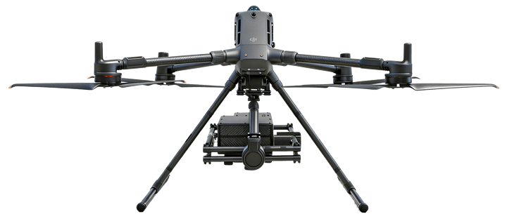
DJI M400 / M350 / M300 RTK

What Is Hyperspectral Aerial Remote Sensing?

Hyperspectral remote sensing is an advanced imaging technology that divides light into hundreds or even thousands of narrow, continuous spectral bands, for example between 400-2500 nm.

Unlike traditional RGB or multispectral drone cameras, a hyperspectral camera records a full spectral curve for every pixel. This enables contactless aerial identification of chemical and physical properties such as plant chlorophyll content, soil moisture or water quality with laboratory-level precision.

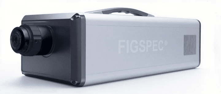
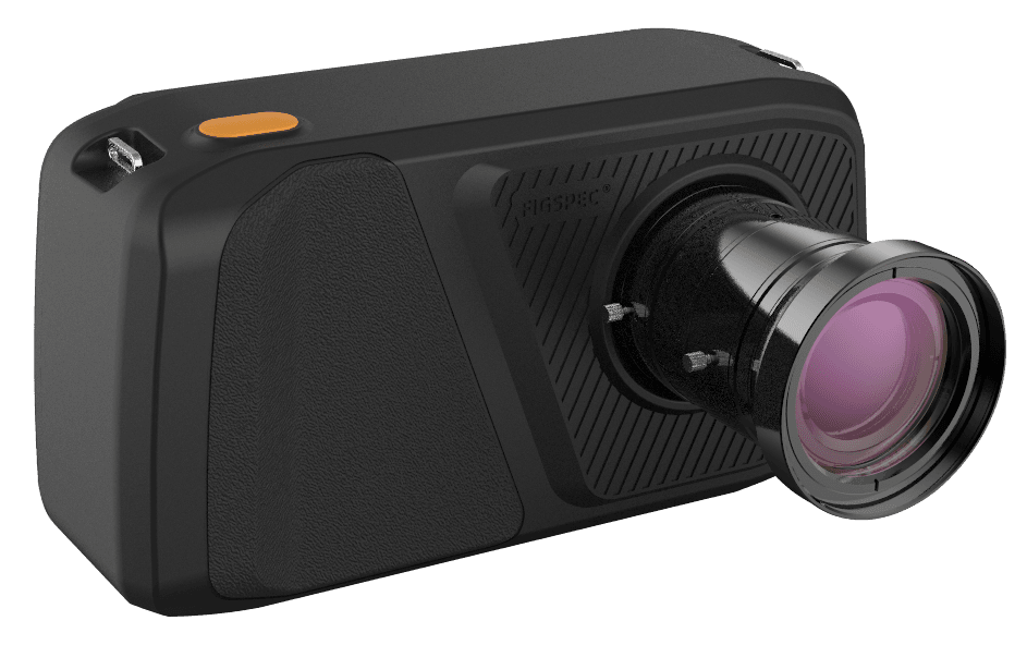
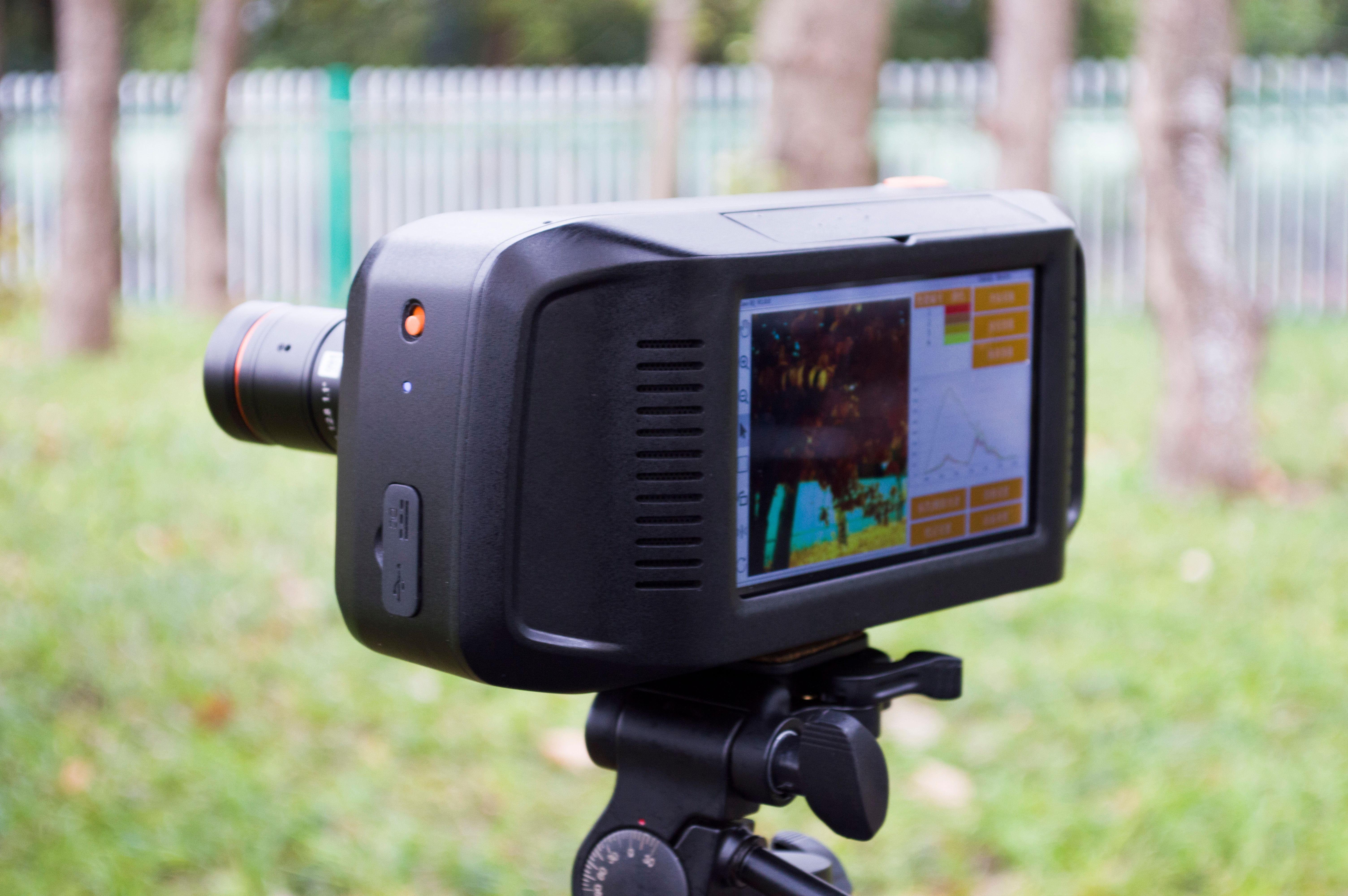
Field hyperspectral camera with real-time spectral preview
Real-time spectral preview for field and UAV data collection.

Who Are These Systems For?

FigSpec drone-mounted cameras provide an immediate competitive advantage for data-driven sectors.

Precision agriculture and crop production

Optimizing yield is no longer possible without accurate monitoring. The system is ideal for checking the absorption and efficiency of plant and soil conditioners and foliar fertilizers. Vegetation indexes generated from spectral data can reveal plant stress, nutrient deficiency or early signs of disease before they become visible.
Livestock farm operators

For large-scale farms, biosecurity and environmental management are critical. Drone-based thermal mapping and spectral analysis support building insulation checks, water body condition assessment and spatial support for strict biosecurity protocols.

Water and environmental protection

Track ecological changes, examine water quality from drones, such as chlorophyll-A level measurement, and map the environmental impact of industrial facilities.

FigSpec Product Portfolio for Hyperspectral Data Collection

In addition to aerial remote sensing projects, we also support the selection of laboratory, industrial and fixed-installation hyperspectral systems.

FigSpec FS60-CL UAV hyperspectral camera series
UAV hyperspectral

FS60-CL Series

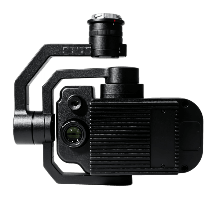
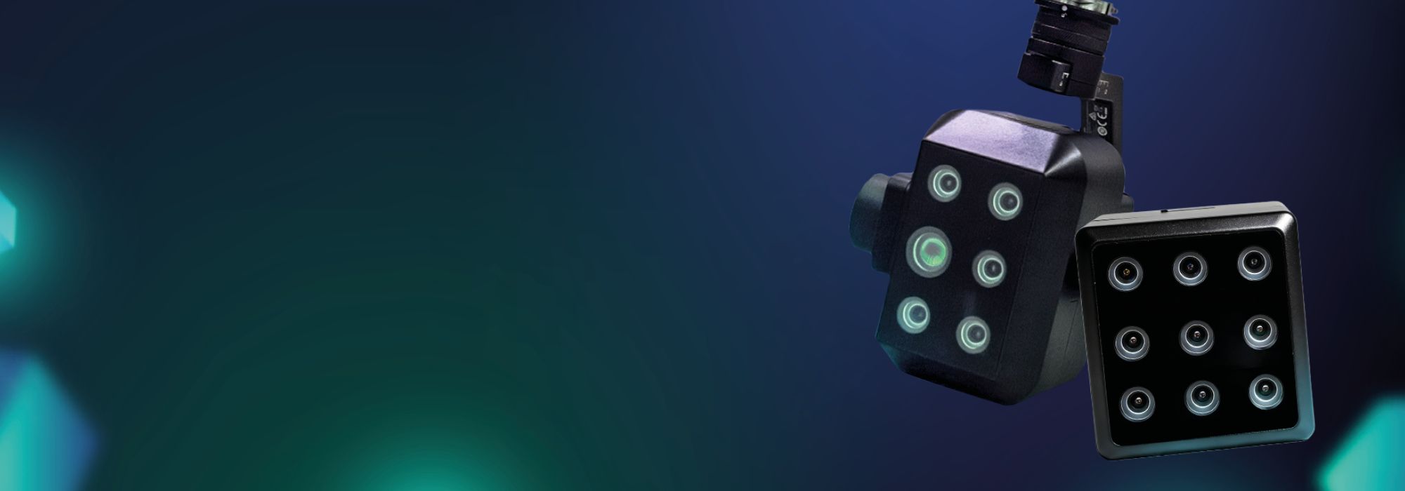
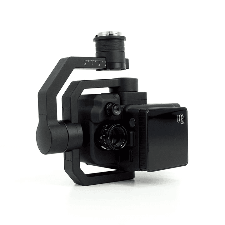
A new-generation drone-mounted hyperspectral camera series for DJI M400 platforms, built for precision agriculture, water quality, forestry and environmental monitoring.

  • 400-1000 / 900-1700 / 400-1700 / 900-2500 nm
  • up to 1200 spectral bands
  • 512 GB SSD, real-time ground preview
FigSpec FS6B airborne full-spectrum hyperspectral camera
Full-spectrum UAV

FS6B Airborne Full-Spectrum

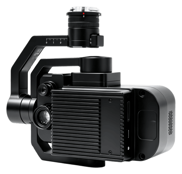
An airborne system combining VISNIR and SWIR sensing across 400-2500 nm for complex soil, crop, mineral and environmental analyses.

  • 400-2500 nm combined range
  • 1450+ combined spectral bands
  • CMOS + MCT detector
FigSpec FS-50L drone-mounted multispectral camera series
UAV multispectral

FS-50L Series

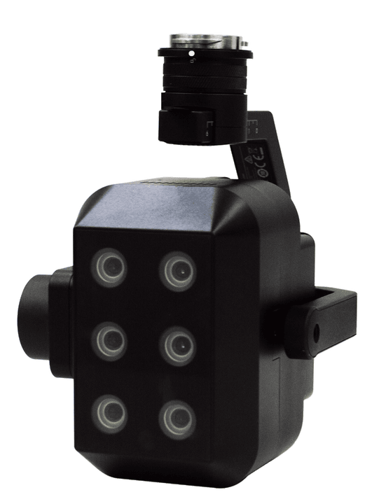
A 30-180 channel, 2K multispectral camera family for crop monitoring, yield estimation, target identification, water quality and ecological surveys.

  • 400-1000 nm
  • 30-180 spectral channels
  • 2.8 cm GSD from 120 m altitude
FigSpec FS-500L, FS-600L, FS-620L and FS-900L multispectral cameras
UAV multispectral

FS-500L / FS-600L / FS-620L / FS-900L

4-9 channel multispectral systems with RGB and long-wave infrared options for flexible agricultural and environmental remote sensing configurations.

  • 4-9 multispectral channels
  • RGB and LWIR options
  • X-Port / SkyPort integration
FigSpec FS-AP-60C automated hyperspectral drone station
Automated monitoring

FS-AP-60C Hyperspectral Nest

An automated drone hangar combining a DJI M400 platform and FS60C hyperspectral payload for recurring, remote or unmanned monitoring tasks.

  • automatic take-off and landing
  • data download and analysis
  • water quality, vegetation, urban and forestry monitoring
FigSpec FS-SIF hyperspectral measuring system for SIF and NDVI analysis
SIF and NDVI

FS-SIF Measuring Systems

A system family for Solar-Induced Chlorophyll Fluorescence measurements, supporting more accurate interpretation of plant photosynthetic activity and stress.

  • 660-790 nm
  • 0.3 nm spectral resolution
  • UAV, line-scan and fixed-point options
FigSpec FS-900 hyperspectral imaging unit
Hyperspectral imaging

FS-900 Imaging Unit

High-detail spectral imaging for research, industrial and agricultural use cases where spectral differences must be interpreted together with visual imagery.

  • research and industrial use
  • spectral imaging
  • material and sample identification
FigSpec FS-9100, FS-9200 and FS-9300 portable spectrometers
Field spectrometer

FS-9100 / FS-9200 / FS-9300

Portable spectrometers for 300-1100, 300-1700 or 300-2500 nm ranges, designed for vegetation, water quality and ecosystem monitoring.

  • up to 300-2500 nm
  • built-in GPS
  • IP54/IP65 rating depending on model
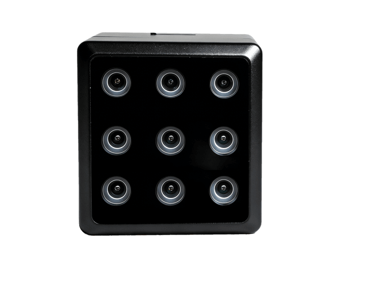
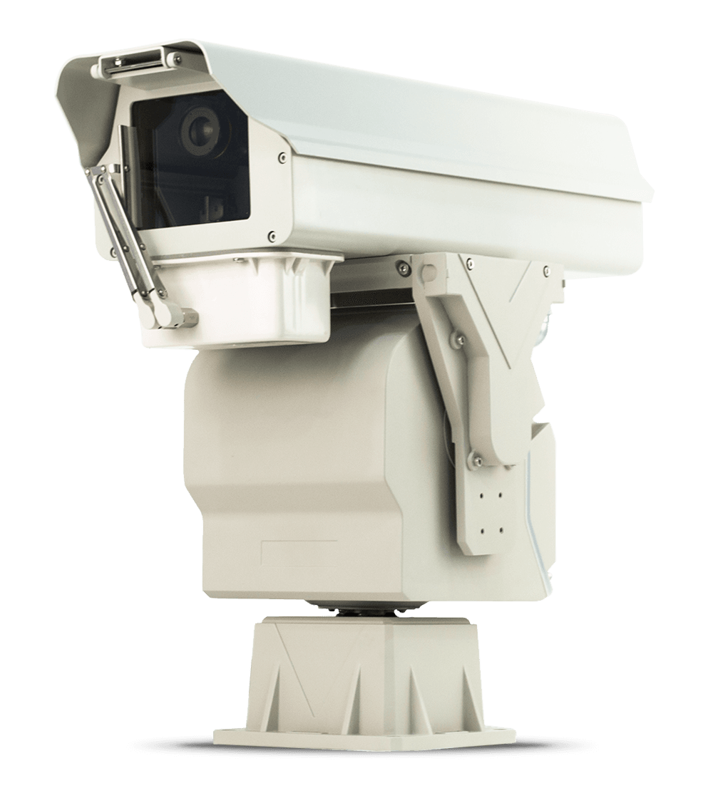
FigSpec PTZ hyperspectral camera system
Fixed installation

PTZ Hyperspectral Camera

A hyperspectral camera combined with a rotatable PTZ unit for rivers, lakes, forestry, agriculture and base-monitoring applications.

  • 390-1010 nm
  • 1200 spectral bands
  • 360-degree horizontal movement
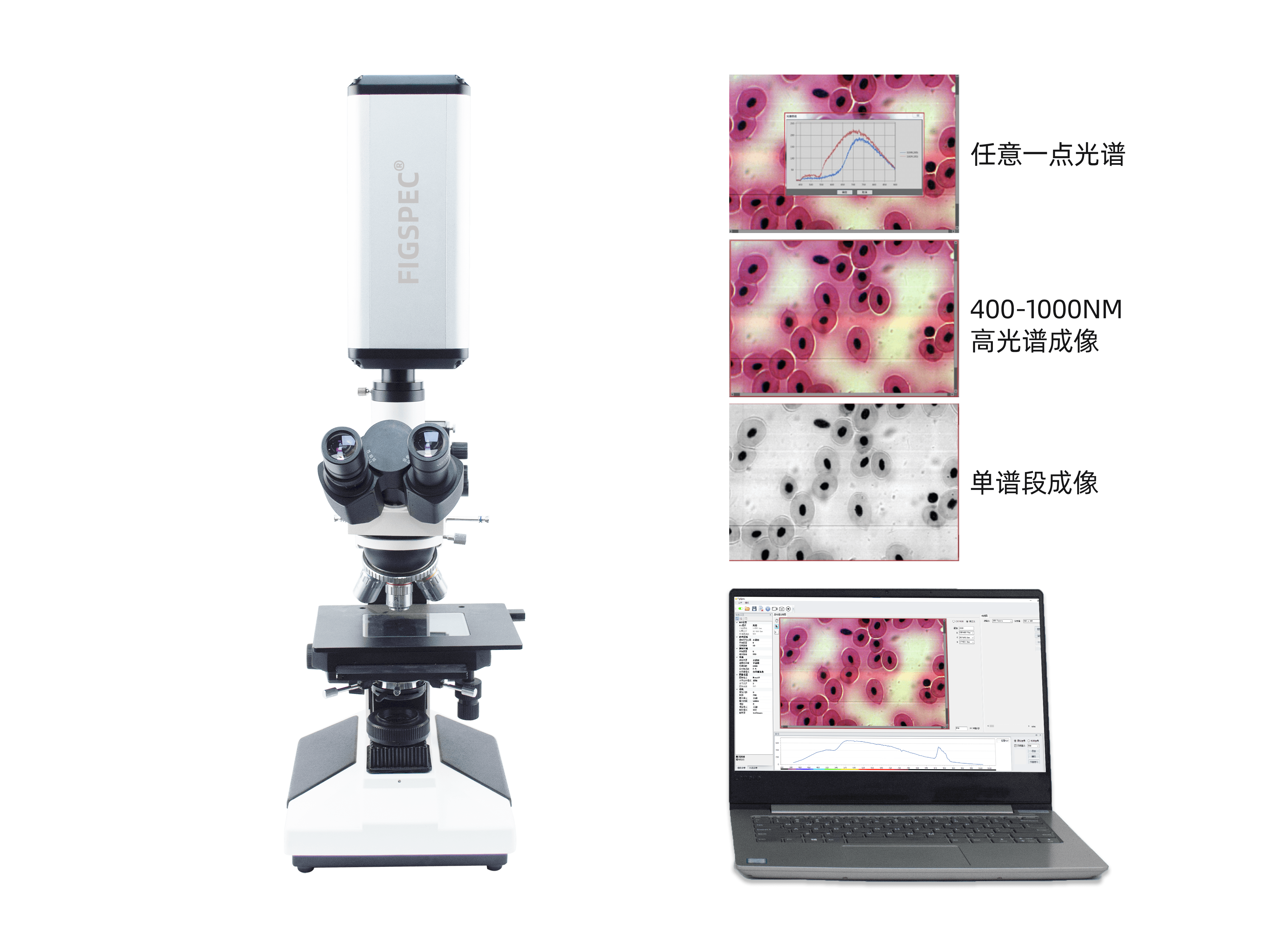
FigSpec microscopic hyperspectral imaging system
Lab and microscope

Microscopic Hyperspectral System

A hyperspectral upgrade for biological, fluorescent, stereo or metallographic microscopes, enabling spectral analysis of cells, algae and micro-samples.

  • 400-1000 nm
  • 1200 spectral bands
  • 1920 x 1920 spatial pixels
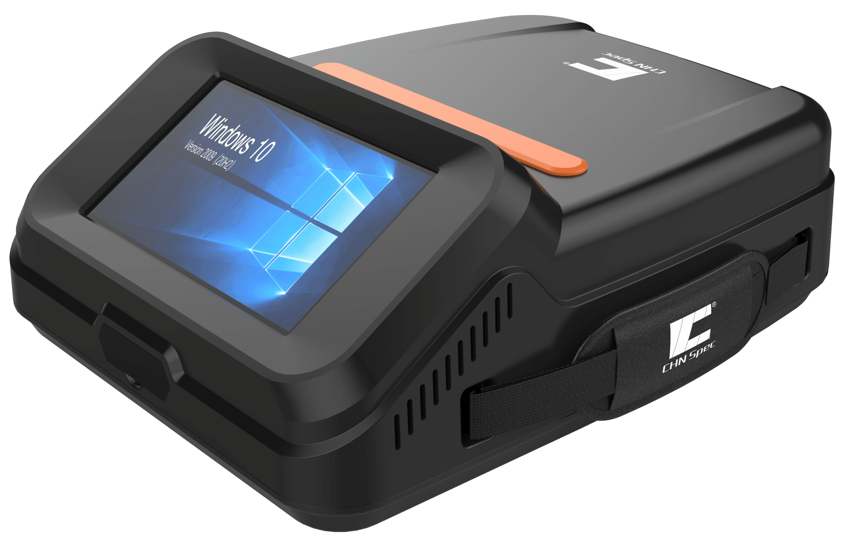
FigSpec FS-IQ hyperspectral analysis platform
Portable camera

FS-IQ Analysis Platform

A portable hyperspectral camera platform with 400-1700 nm configurations, touchscreen operation and multi-format data management.

  • VIS, VISNIR and SWIR options
  • up to 1920 x 1920 pixels
  • USB Type-C export

Technical Parameters and DJI Compatibility

The hardware integrates seamlessly with the most common industrial drone platforms without compromise.

UAV compatibility
DJI M400-based integration with X-Port or SkyPort connection, field preview and ground-station control.
Hyperspectral range
FS60-CL series: 400-1000 nm, 900-1700 nm, 400-1700 nm or 900-2500 nm configurations; FS6B full spectrum: 400-2500 nm.
Multispectral range
FS-50L series: 30-180 spectral channels between 400-1000 nm, 2K spatial resolution and 12-bit sampling.
Software and data flow
FIGSPEC UAV, FIGSPEC Merge and FIGSPEC Studio support; .spe, .hdr and .scp formats with batch reflectance and area correction.
Real-time control
Sampling position, hyperspectral image and spectral data stream can be tracked on the ground station; several systems are ready for single-operator field use.
Storage and processing
On-board units are available with 512 GB SSD storage and embedded processing, while multispectral systems provide 16-bit RAW TIFF output with GPS data.

Complete Software Ecosystem: From Raw Data to Decision Support

FigSpec Merge 2.0

Image merging and calibration

Automatic stitching, mosaicking and calibration of flight strips with reflectance and area correction. Raw .spe, .hdr and .scp data can quickly become usable maps and analysis layers.

FigSpec Studio 2.0

Analysis and image classification

Advanced evaluation software for vegetation indexes, NDVI analysis, water-quality models, classification and spectral comparison. The system fits field, UAV and laboratory workflows.

Ground station and automation

Real-time preview and remote supervision

In UAV configuration, sampling location, hyperspectral imagery and spectral curves can be monitored from the ground station. Automated stations can support recurring water-quality, vegetation and environmental monitoring tasks.

Take Data Collection to the Next Level

Whether testing the latest soil conditioners, surveying large livestock sites or running environmental monitoring, hyperspectral technology is becoming an essential tool for the future.

Our expert team delivers more than hardware: we help configure a drone camera system tailored to your industry-specific GEO/GIS needs and support operator training.

Ideal applicationsPrecision agriculture, livestock farm monitoring, water and environmental protection

Frequently Asked Questions About Hyperspectral Systems

Can the system be used with our existing drone fleet?

Yes. FigSpec FS60-CL, FS-50L and FS-500L UAV systems are designed for DJI M400 platforms and X-Port / SkyPort integration. They support ground-station preview, real-time data control and single-operator field use.

How does the system support testing plant and soil conditioners and foliar fertilizers?

Hyperspectral technology captures spectral changes that are invisible to the human eye. After treatments such as liquid foliar fertilization, the camera system and FigSpec Studio 2.0 make chlorophyll increase and reduced plant stress measurable with centimeter-level precision.

What role does remote sensing play in livestock farm biosecurity?

For large livestock sites, maintaining biosecurity is critical. Drone-based hyperspectral surveys can quickly and contactlessly detect contamination in site water bodies, such as algal growth or eutrophication, and identify environmental risks around the site without breaching strict biosecurity zones.

Do the software tools require advanced programming or data-analysis knowledge?

No. Although the captured data is highly complex, the FigSpec Merge 2.0 and Studio 2.0 software ecosystem is designed to be user-friendly. Built-in algorithms can generate heatmaps, calculate vegetation indexes such as NDVI and perform image classification without programming background.